AccuWeather Global Weather Center – November 15, 2022 –AccuWeather meteorologists say the fiercest lake-effect snow event yet this season — and potentially in years — will ramp up downwind of the Great Lakes late this week and bury some locations with feet of snow, grind travel to a halt and potentially stamp new marks in the weather history books.
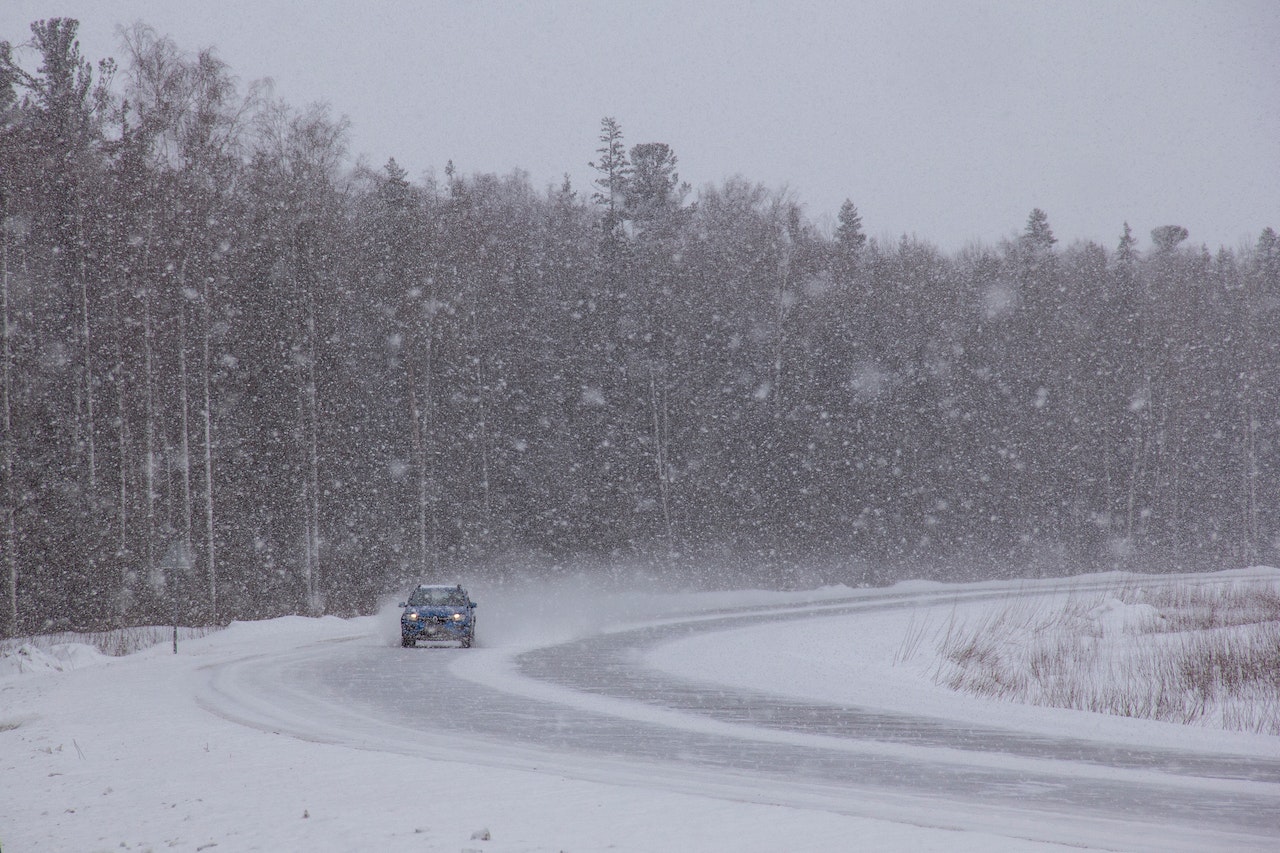
Forecasters warn that travel could be difficult to nearly impossible amid the heaviest snow bands, including along sections of Interstate 90 in the Buffalo, New York, area and I-81 north of Syracuse. Snow may pour down at the rate of 2-4 inches per hour at times with thundersnow possible in the most intense bands.
While the region has had its fair share of snow showers due to the recent arrival of winterlike cold, experts say the upcoming event could be one of historic proportions as the lake-effect machine ramps up to full throttle beginning Thursday and continuing right into the weekend.

“These early-season events can be potent, as lake water temperatures are still quite mild compared to the middle to the latter part of winter,” AccuWeather Meteorologist Matt Benz said. As of Tuesday morning, waters on the Great Lakes were generally in the 50s F.
“The heaviest snowfall is expected to occur downwind of Lake Erie and Lake Ontario in New York and Lake Huron in Ontario. Several feet of snow can occur where snow bands persist over the same location for an extended period of time,” Benz said.
One of the factors forecasters look to when predicting lake-effect snow is the wind direction throughout the atmosphere. When winds generally come from a uniform direction in the lower part of the atmosphere, this can result in an intense band of snow that unleashes extreme snowfall totals in a narrow corridor. Any fluctuation in the wind direction can cause this band to wobble north or south.

AccuWeather’s winter weather experts say one such intense band is expected to set up around the Buffalo area. A winter storm watch has been hoisted for the metro area and across southwestern New York as a result of this threat.
“Buffalo and its southern suburbs may receive as much as 3 to 6 feet of snow by Sunday,” Benz said, adding that the heaviest snow may fall over two periods — Thursday night into Friday and then Saturday into Saturday night. “These two periods will likely feature the worst conditions of this event.”
Travel is strongly discouraged during the height of the event as motorists will run the risk of becoming stranded on the roadways as the snow falls fast and furiously, making it difficult for road crews to keep up with clearing the snow. Experts advise anyone who must venture out to be prepared by having an emergency kit in their vehicle.
Forecasters say prior blockbuster lake-effect snow events in Buffalo during the month of November bear some resemblance to the upcoming pattern. During Nov. 20-23, 2000, the metro area was shut down as over 2 feet of snow buried the region. This event gave the city its largest single-day snowfall for November — 24.9 inches on Nov. 20, according to National Weather Service climate records — a record that could certainly be challenged with the upcoming lake-effect event.
Feet of snow to bury Buffalo as potentially historic lake-effect event looms (Full Story) >>
About AccuWeather, Inc. and AccuWeather.com
AccuWeather, recognized and documented as the most accurate source of weather forecasts and warnings in the world, has saved tens of thousands of lives, prevented hundreds of thousands of injuries and tens of billions of dollars in property damage. With global headquarters in State College, PA and other offices around the world, AccuWeather serves more than 1.5 billion people daily to help them plan their lives and get more out of their day through digital media properties, such as AccuWeather.comand mobile, as well as radio, television, newspapers, and the national 24/7 AccuWeather Network channel. Additionally, AccuWeather produces and distributes news, weather content, and video for more than 180,000 third-party websites.


